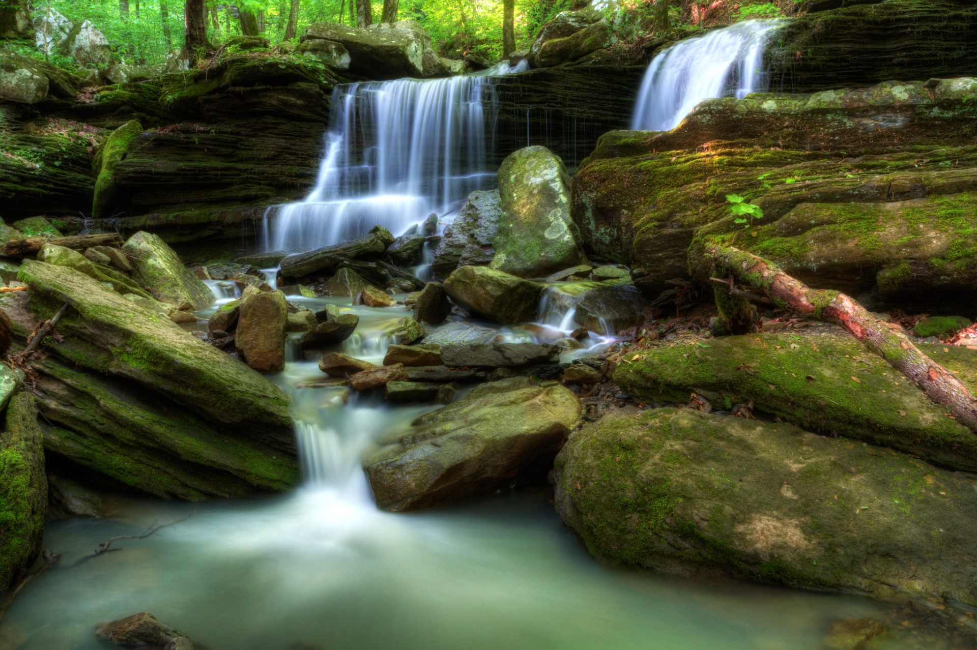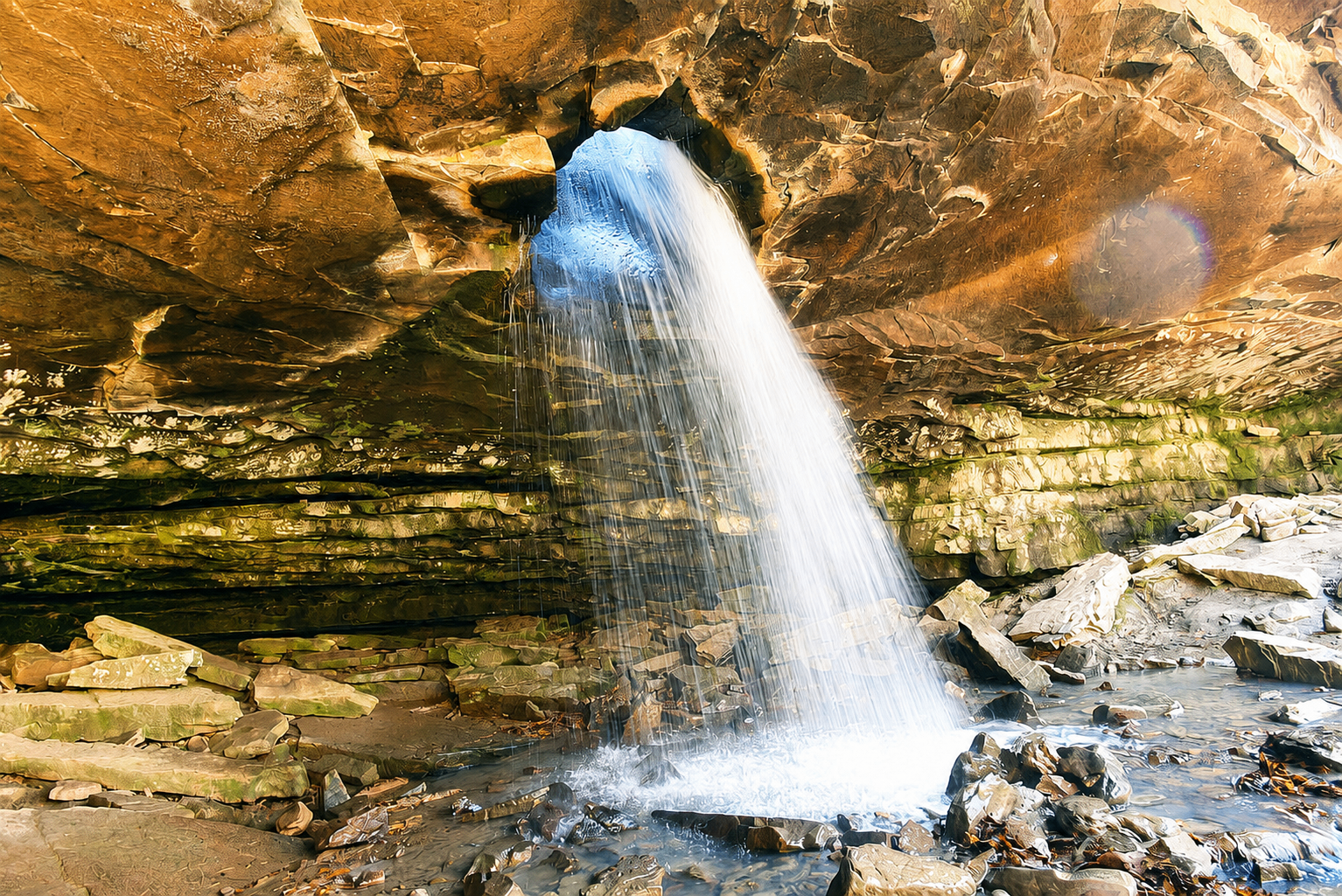
Pam's Grotto Falls
Seasonal Swim HolePam's Grotto Falls — a 37 ft drop in the tributary creeks.
- Height
- 37 ft
- Type
- Cascade
- District
- Tributary
- Round trip
- 2.5 mi
- Difficulty
- Moderate
- Best season
- Spring
- Est. time
- ~1.5 hr
- Flow-dependent
- Yes
- Pet friendly
- No
- Coordinates
- 35.68330, -93.25539
Current conditions
- Rain 24h
- 0.00″
- Rain 72h
- 0.00″
- Rain 7d
- 0.23″
Next 3 days (preview)
Live data temporarily unavailable — showing last successful fetch. See full conditions report →
The falls
Pam's Grotto Falls is one of dozens of 37 ft ribbon falls that ring the Buffalo River watershed. It runs hardest in late winter and early spring, when snowmelt and Ozark thunderstorms recharge the creeks. Detailed route notes for this falls are coming soon — check back for trailhead directions, GPX, and current conditions.
What makes it special
A 37-foot waterfall tucked behind a massive overhanging bluff, with enough space to walk completely behind the curtain of water. The surrounding bluff line is a popular destination for technical rock climbers as well.
History
Pam's Grotto Falls was named by Arkansas guidebook author and photographer Tim Ernst in honor of his wife, Pam — and the name stuck. It has since become one of the most photographed waterfalls in the Ozark National Forest.
Caves & springs
The 'grotto' is a deep overhanging bluff shelter rather than a true solution cave — a dry, sandy alcove the size of a small room behind the cascade.
The hike is short but climbs steeply over large, sometimes loose boulders. The mouth of the grotto is muddy and slick, and the bluff line above the falls has no protection — keep small kids well back from the rim.
Getting there
Trailhead: Pam's Grotto Falls (parking on Hwy 123 at 35.67971, -93.25214) (35.68330, -93.25539). Coordinates are researched references — verify with a map app before driving.