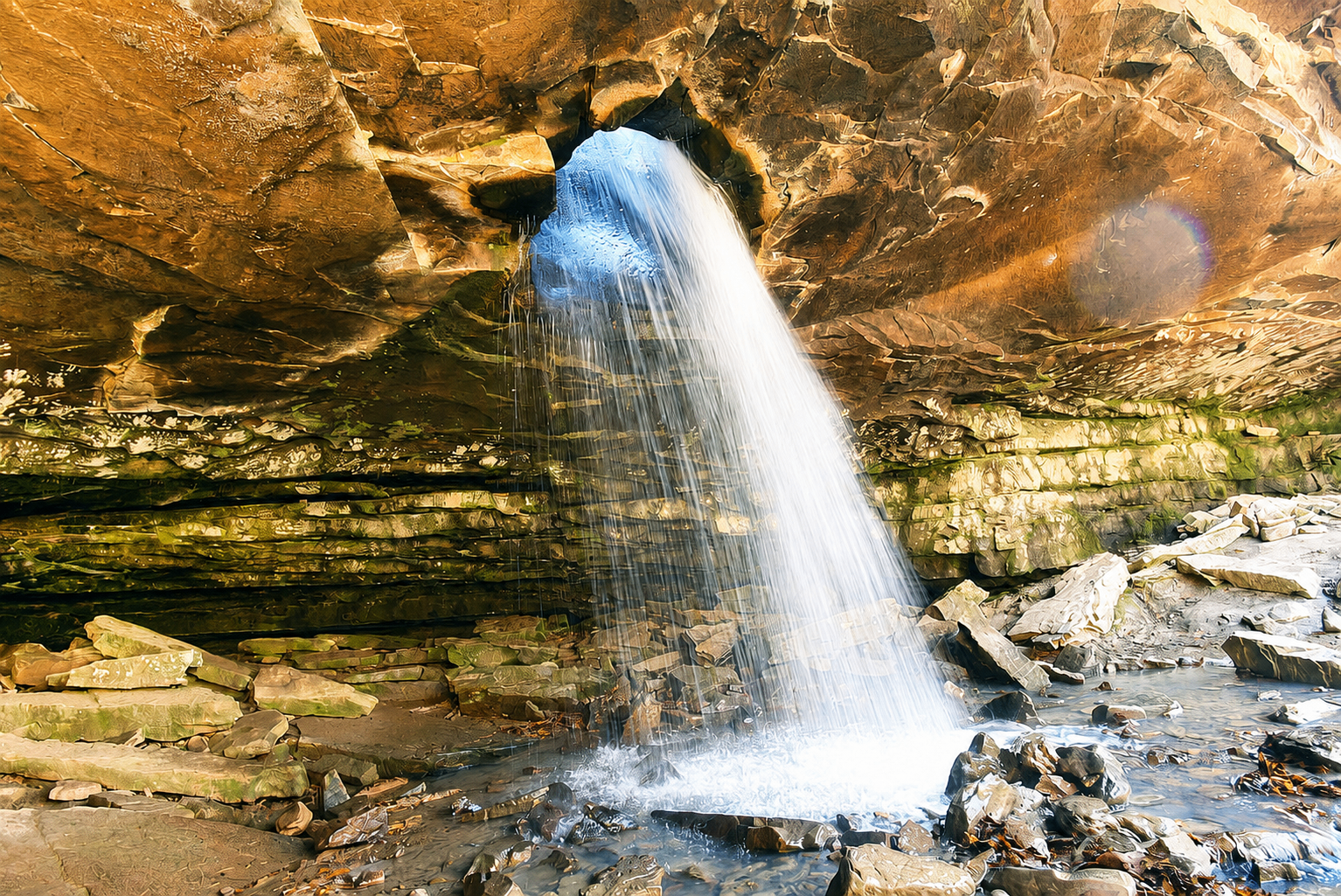
Haw Creek Falls
Swimming HoleHaw Creek Falls — a 8 ft drop in the tributary creeks.
- Height
- 8 ft
- Type
- Cascade
- District
- Tributary
- Round trip
- 0.5 mi
- Difficulty
- Easy
- Best season
- Spring
- Est. time
- ~15 min
- Flow-dependent
- Yes
- Pet friendly
- Yes
- Coordinates
- 35.67782, -93.25520
Current conditions
- Rain 24h
- 0.00″
- Rain 72h
- 0.00″
- Rain 7d
- 0.13″
Next 3 days (preview)
Live data temporarily unavailable — showing last successful fetch. See full conditions report →
The falls
Haw Creek Falls is one of dozens of 8 ft ribbon falls that ring the Buffalo River watershed. It runs hardest in late winter and early spring, when snowmelt and Ozark thunderstorms recharge the creeks. Detailed route notes for this falls are coming soon — check back for trailhead directions, GPX, and current conditions.
What makes it special
Unlike the tall plunges that dominate the Ozarks, Haw Creek is a wide ledge fall that spans the whole creek bed — and you can park within sight of it. One of the most family-friendly waterfalls in northwest Arkansas.
History
Haw Creek Falls Recreation Area has been a USDA Forest Service campground for decades, and the falls were a longstanding rest stop for travelers crossing the Boston Mountains on what is now Highway 123.
The flat rocks at the lip of the falls are very slick — wear shoes with real traction. During heavy rain the low-water bridge into the campground can flood and become impassable.
Getting there
Trailhead: Haw Creek Falls Recreation Area / Campground (35.67782, -93.25520). Coordinates are researched references — verify with a map app before driving.