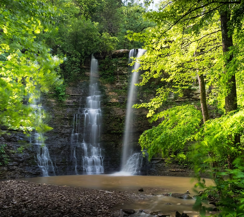
Indian Creek Falls
Indian Creek Falls — a 25 ft drop in the Upper district.
- Height
- 25 ft
- Type
- Cascade
- District
- Upper
- Round trip
- 6.0 mi
- Difficulty
- Strenuous
- Best season
- Spring
- Est. time
- ~5 hr
- Flow-dependent
- Yes
- Pet friendly
- No
- Coordinates
- 36.0537333, -93.281819
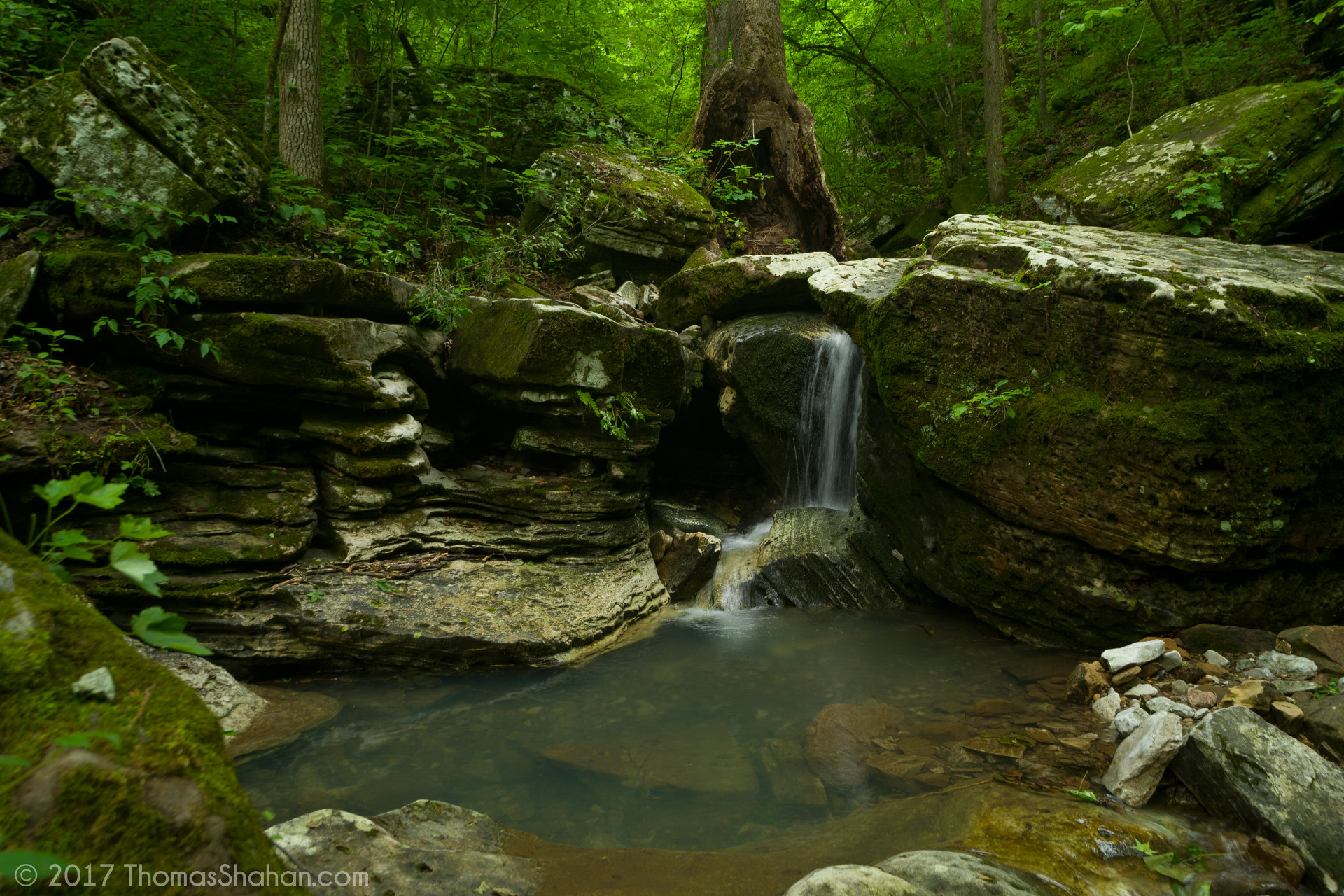
Photo © Thomas Shahan
Current conditions
- Rain 24h
- 0.00″
- Rain 72h
- 0.00″
- Rain 7d
- 0.07″
Next 3 days (preview)
Live data temporarily unavailable — showing last successful fetch. See full conditions report →
The falls
Indian Creek Falls is one of dozens of 25 ft ribbon falls that ring the Buffalo River watershed. It runs hardest in late winter and early spring, when snowmelt and Ozark thunderstorms recharge the creeks. Detailed route notes for this falls are coming soon — check back for trailhead directions, GPX, and current conditions.
What makes it special
Indian Creek packs more 'wow' per mile than almost anywhere on the Buffalo — Tunnel Cave Falls drops out of a limestone tunnel, the Eye of the Needle is a natural rock window high on the canyon wall, and Copperhead Falls sits in a side grotto.
History
The route is one of the most famous bushwhack hikes in Buffalo National River and has been a destination for adventurous hikers for decades, despite never being a maintained NPS trail.
Caves & springs
Tunnel Cave is the signature feature — Indian Creek emerges from a dark limestone passage and drops as a 30-foot waterfall. The cave is frequently closed seasonally by the NPS to protect hibernating bat populations from White-Nose Syndrome; respect any posted closures.
Safety & Warnings: This trail is considered one of the most hazardous in the region. It features sheer drops, slick rocks, and requires climbing loose dirt/rock faces (sometimes aided by fixed ropes). It is not suitable for children or pets
Features
Multiple waterfalls including Tunnel Cave Falls (a 30-foot cascade emerging from a bluff cave), Copperhead Falls, and the Eye of the Needle
Getting there
Trailhead: Indian Creek Trailhead (36.0537333, -93.281819). Use the map link below for turn-by-turn directions.
By river
Duration: Plan a full day from the river — this is a serious side trip, not a quick stop.
Reachable from the Buffalo River via the Kyles Landing access — paddle or hike upstream from Kyles to the Indian Creek drainage. Most people approach on foot from the Indian Creek Trailhead instead.
What's nearby