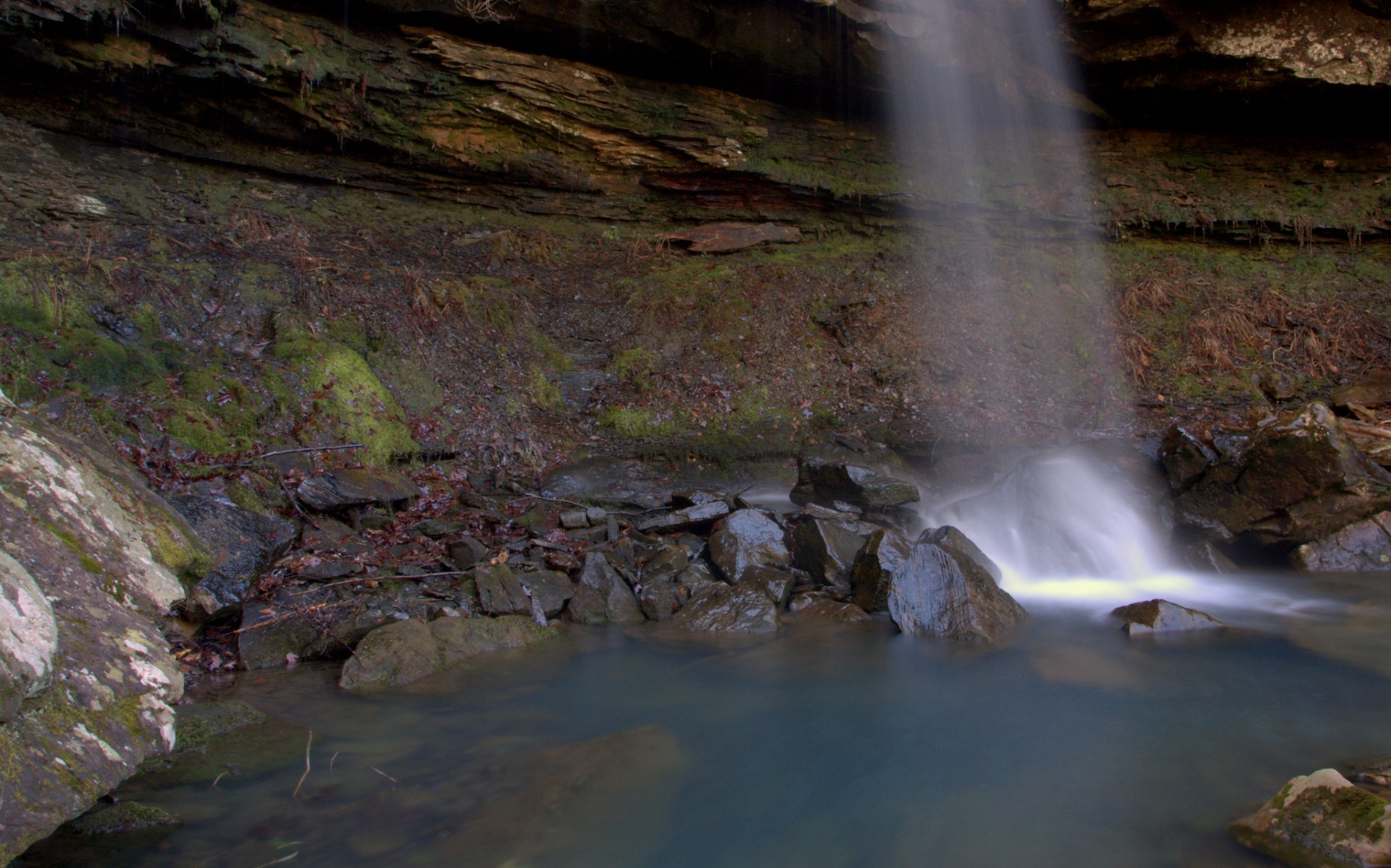
Magnolia Falls
A 26-foot plunge in the Upper Buffalo Wilderness — and the opening act of a four-waterfall canyon.
- Height
- 26 ft
- Type
- Plunge
- District
- Tributary
- Round trip
- 2.1 mi
- Difficulty
- Moderate
- Best season
- Spring
- Est. time
- ~1.5 hr
- Flow-dependent
- Yes
- Pet friendly
- Yes
- Coordinates
- 35.86538°N, 93.39840°W
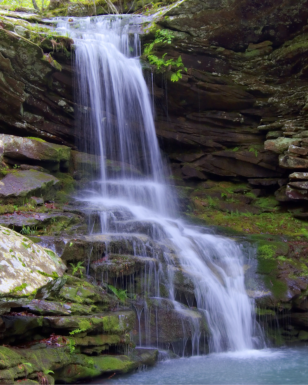
Photo: Magnolia Falls
Current conditions
- Rain 24h
- 0.00″
- Rain 72h
- 0.00″
- Rain 7d
- 0.91″
Next 3 days (preview)
Live data temporarily unavailable — showing last successful fetch. See full conditions report →
Featured route
⭐ Boen Gulf Canyon Falls
Part of the Upper Buffalo Four Falls Canyon circuit — see the full route guide linking Magnolia, Woods Boys, Stahle, and Hadlock Cascade in a single ~3 mile day.
The falls
A beautiful 26-foot waterfall tucked into one of the most scenic old-growth drainages in the Upper Buffalo Wilderness — and just the opening act of a remarkable four-waterfall canyon. The hike follows an old jeep road through first-rate Ozark scenery, past ancient stone walls and rock formations, before dropping down into the hollow where Magnolia Falls waits just upstream on the main creek. The best part — Woods Boys Falls sits just downstream at the same creek junction, making this a genuine two-for-one without taking an extra step. And if you keep going, Stahle Falls and Hadlock Cascade are both within reach on the same day. See the Upper Buffalo Four Falls Canyon page for the full one-day circuit.
What makes it special
A 26-foot plunge in the Upper Buffalo Wilderness — and just the opening act of a four-waterfall canyon. Woods Boys Falls sits at the same creek junction, and Stahle Falls and Hadlock Cascade are both within reach on the same day.
History
The falls are named for the rare bigleaf magnolia trees (Magnolia macrophylla) that thrive in the cool, shaded drainage. The surrounding Upper Buffalo Wilderness was designated by Congress in 1974, protecting the headwaters of the Buffalo River in a primitive state.
Caves & springs
The drainage holds a string of small wet-weather springs and rock shelters typical of the Buffalo headwaters — no major caves, but plenty of overhangs to duck under in a passing shower.
As a designated wilderness, the route is not officially maintained or blazed. Bring a GPX track and a paper map, and expect no cell service in the deep hollows.
Getting there
From Mossville Church head south on Hwy 21 for 2.5 miles and turn right onto CR#9050/FR#1462. Alternatively from Edwards Junction head north on Hwy 21 for 1.8 miles and turn left onto CR#9050/FR#1462. Go 0.3 miles and park on the right at the Wilderness Access sign. Follow the jeep road past the trailhead register continuing straight ahead. Cross a small creek and turn left at the junction entering the wilderness boundary — blue blazes on the trees confirm the route. Follow the road approximately 1.0 mile to where it dips to a small creek, then leave the road and follow the creek downstream a couple hundred yards to the main creek below. Magnolia Falls is just upstream from that junction. Quad: Fallsville.
On the same trailhead