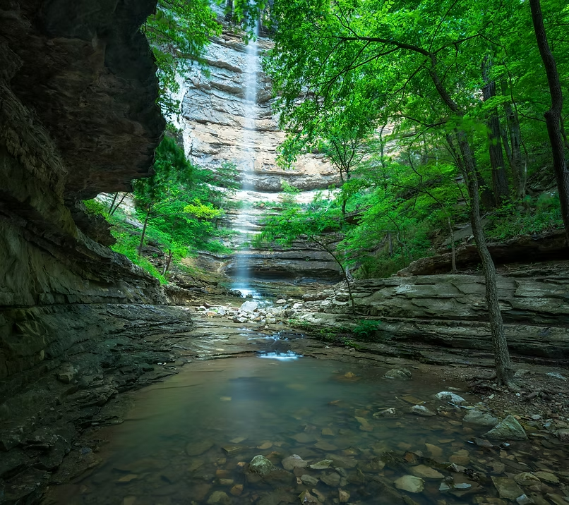
Bumpers Falls
A nearly 100-foot double drop named for Senator Dale Bumpers — both tiers visible from a single vantage point on Push Mountain Road.
- Height
- 27 + 71 ft
- Type
- Cascade
- District
- Upper
- Round trip
- 2.5 mi
- Difficulty
- Moderate
- Best season
- Spring
- Est. time
- ~1.5 hr
- Flow-dependent
- Yes
- Pet friendly
- No
- Coordinates
- 36.0800, -93.3100
Current conditions
- Rain 24h
- 0.00″
- Rain 72h
- 0.00″
- Rain 7d
- 0.11″
Next 3 days (preview)
Live data temporarily unavailable — showing last successful fetch. See full conditions report →
The falls
Named after former Arkansas governor and senator Dale Bumpers, this dramatic double-drop sits just steps from its neighbor Dewey Canyon Falls along the same bluffline off Push Mountain Road (Hwy 341). The upper tier drops 27 feet before the water gathers and plunges again over a 71-foot lower fall — nearly 100 feet of cascading water in one tight canyon. Both tiers are visible from a single vantage point, making this one of the most photogenic multi-drop waterfalls in the region. A volunteer trail leads from the highway guardrail down to the creek.
What makes it special
A 27-foot upper tier and a 71-foot lower tier in a single tight canyon — both visible from one vantage point, with Dewey Canyon Falls only steps away.
History
The falls are named for Dale Bumpers, the former Arkansas governor and U.S. senator who championed the creation of Buffalo National River as America's first national river in 1972.
Best time to go
Best after recent rain. The creek can run dry in summer — plan a visit during the wet season or within a few days of a good storm.
The volunteer trail drops steeply from the highway guardrail with loose footing, and the rocks at the rim of both tiers are unprotected — keep well back from the edge.
Getting there
From Big Flat, follow Push Mountain Road (Hwy 341). Park along the highway near the guardrail above the canyon and pick up the volunteer trail down to the creek. Pair with neighboring Dewey Canyon Falls on the same bluffline.