
Hemmed-In Hollow Falls
The tallest waterfall between the Rockies and the Appalachians.
- Height
- 209 ft
- Type
- Plunge
- District
- Upper
- Round trip
- 5.0–5.7 mi
- Difficulty
- Strenuous
- Best season
- Spring
- Est. time
- 4–6 hours
- Flow-dependent
- Yes
- Pet friendly
- No
- Coordinates
- 36.0813°N, 93.3033°W
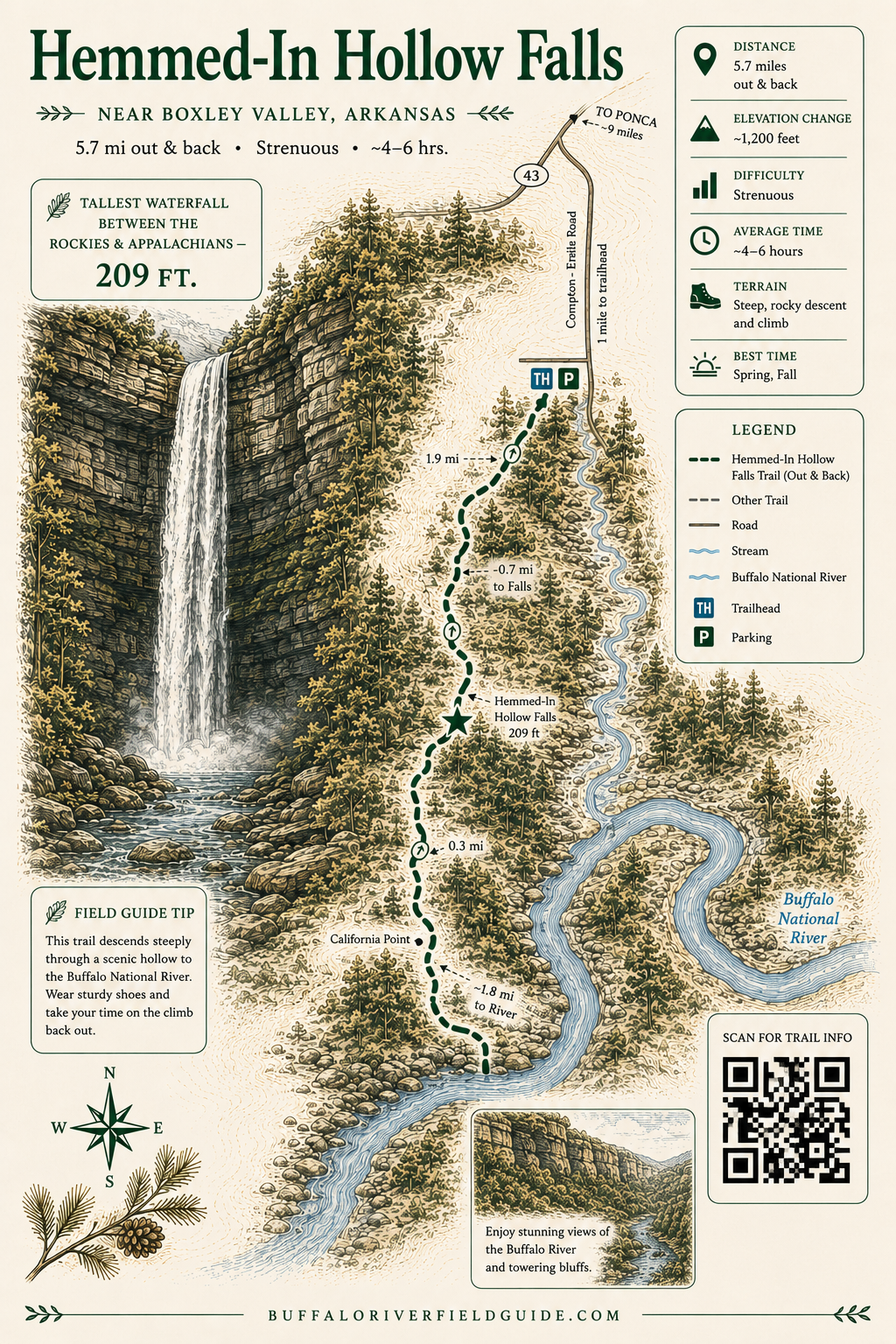
Trail map
Illustrated trail guide
Current conditions
- Rain 24h
- 0.00″
- Rain 72h
- 0.00″
- Rain 7d
- 0.11″
Next 3 days (preview)
Live data temporarily unavailable — showing last successful fetch. See full conditions report →
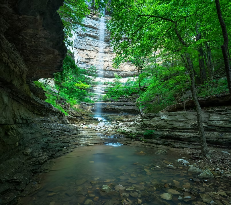
The falls
A 209-foot ribbon plunges from a sandstone amphitheater into a fern-lined grotto deep in the Ponca Wilderness. After heavy rain it roars; in late summer it can shrink to a mist. The Compton Trailhead descent is steep and unrelenting on the return.
WARNING: The hike to Hemmed-in Hollow is one of the most frequent Search & Rescue (SAR) locations at Buffalo National River. Steep and strenuous trail conditions, coupled with a hiker's lack of preparation, can lead to dehydration, overexertion/exhaustion, and heat related illness. This hike is not recommended for children under the age of 12.
The trail
The Hemmed-in Hollow Trail is an extremely steep and strenuous trail that will humble even the most experienced hiker. Visitors will need to plan to take the entire day to hike this trail, due to the rough wilderness terrain.
Getting there
From Harrison, take Hwy. 43 south and travel approximately 18.5 miles to the community of Compton. Turn left on the dirt road across from the Compton Post Office and travel 1 mile. Follow the signs to the trailhead parking area. Two trails begin at the Compton Trailhead: Hemmed-In Hollow Trail (marked by white, rectangular blazes) and the Sneeds Creek Trail (marked by yellow, rectangular blazes). Please be careful to take your intended trail.
By river
Duration: Approximately 1 hour round trip
A less strenuous option for reaching Hemmed-In Hollow is to float the upper Buffalo River during canoe season, which typically runs from March through June. From the river, the hike to the waterfall is about half a mile and considered moderately difficult. The trail begins roughly one mile downstream from Jim Bluff, a landmark on the left side of the river identified by a large flat rock painted with the words 'Jim Bluff.' The trailhead is also located on the river's left bank. The National Park Service usually posts a sign at the pull-out area. In most cases, the easiest way to recognize the spot is by the number of canoes, kayaks, and rafts gathered near the trail access point.
Guided option
Prefer to go with a guide? 37 North Expeditions runs a Group Guided Float + Hemmed-In-Hollow Hike from Steel Creek to Kyle's Landing that includes the side hike up to the falls.
On the same trailhead