Hideout Hollow Falls
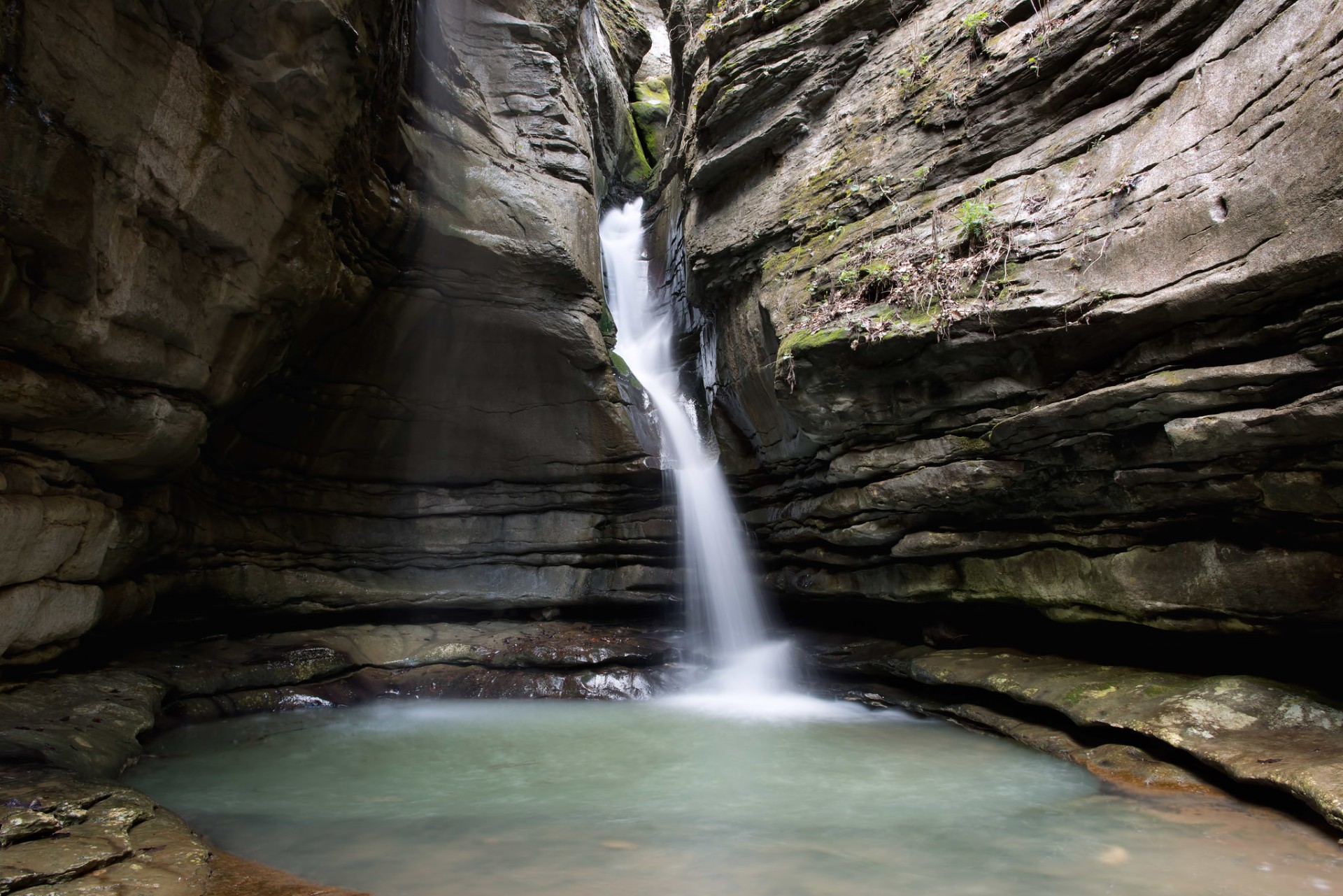
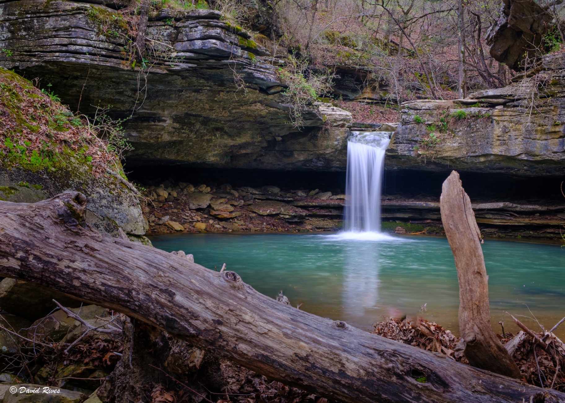
37 feet of water over a bluffline into one of the prettiest hollows on the Buffalo — and only a mile from the trailhead.
- Height
- 37 ft
- Type
- Cascade
- District
- Upper
- Round trip
- 2 mi
- Difficulty
- Easy
- Best season
- Fall
- Est. time
- 1–2 hours
- Flow-dependent
- Yes
- Pet friendly
- Yes
- Coordinates
- 36.08080, -93.26977
Current conditions
- Rain 24h
- 0.00″
- Rain 72h
- 0.00″
- Rain 7d
- 0.11″
Next 3 days (preview)
Live data temporarily unavailable — showing last successful fetch. See full conditions report →
Compton / Upper District
Thirty-seven feet of water tumbling over a bluffline into one of the prettiest hollows along the entire Buffalo River — and only a 1-mile hike to get there. Hideout Hollow is one of the most accessible true wilderness waterfall experiences in the national river, making it a go-to for visitors who want solitude without an all-day commitment. The maintained trail from Schermerhorn Trailhead winds through second-growth timber to the bluffline, where sweeping views of the Cecil Creek Valley open up before you reach the falls. Agile hikers can carefully cross at the top of the falls and follow a narrow ledge beneath the overhang to reach the base — one of the most memorable moments on any Buffalo River hike.
What makes it special
A 37-foot pour-off over the bluffline with a narrow ledge route beneath the overhang — agile hikers can carefully cross at the top of the falls and follow it to the base.
History
The hollow takes its name from the 'Slacker Gang' — a group of nine local men who hid in the large bluff shelter here during WWI to avoid the draft, supported by neighbors who packed in supplies, before eventually surrendering in 1918.
Caves & springs
The 'Hideout' itself is a textbook Ozark 'rock house' — a deep indentation in the bluff face that stays dry year-round and was used by Native Americans and early pioneers for shelter and storage long before the WWI episode.
Best time to go
September through April, when the wet-weather creek above the bluffline is reliably flowing.
The trail ends at a high, unprotected bluff line with a sheer drop. The rocks at the top of the falls are often slick with algae — keep well back from the rim, and only attempt the ledge route to the base if you're sure-footed and the rock is dry.
The trail
About 2 miles round trip with roughly 311 feet of elevation change. The trail begins at the Schermerhorn Trailhead near Compton, parking at 36.07305, -93.26588. The route through hardwoods is easy until the optional unmarked descent below the bluff to the base of the falls — that final scramble is steep and slick.
Getting there
Trailhead: Schermerhorn Park, about 3 miles from Compton off Hwy 43 (parking 36.07305, -93.26588). The maintained trail runs roughly a mile to the falls along the bluffline.