Thunder Canyon Falls
A 71-foot plunge reached by following Cecil Creek on the Cecil Cove Loop Trail — medium bushwhack, GPS recommended.
- Height
- 71 ft
- Type
- Plunge
- District
- Upper
- Round trip
- 4.0 mi
- Difficulty
- Moderate
- Best season
- Spring
- Est. time
- ~2.5 hr
- Flow-dependent
- Yes
- Pet friendly
- No
- Coordinates
- 36.08460, -93.25428
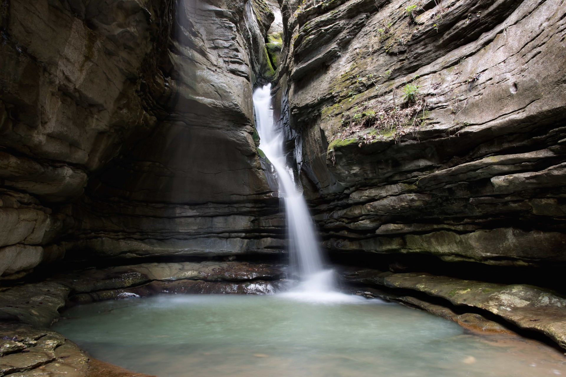
Photo: Thunder Canyon Falls
Current conditions
- Rain 24h
- 0.00″
- Rain 72h
- 0.00″
- Rain 7d
- 0.24″
Next 3 days (preview)
Live data temporarily unavailable — showing last successful fetch. See full conditions report →
The falls
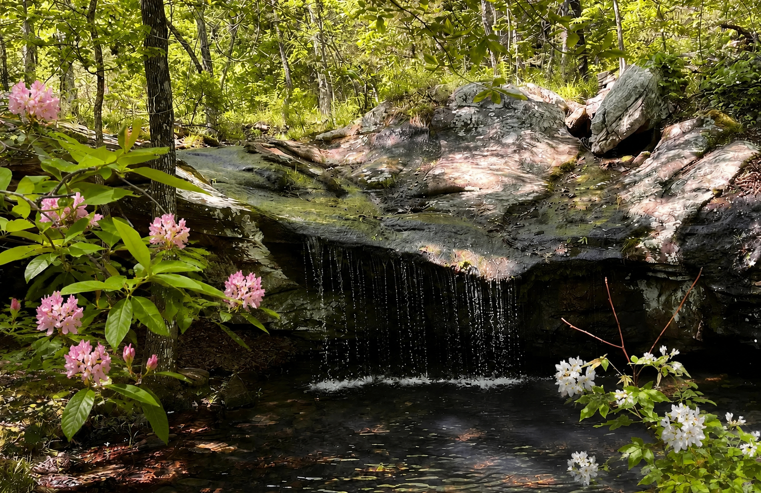
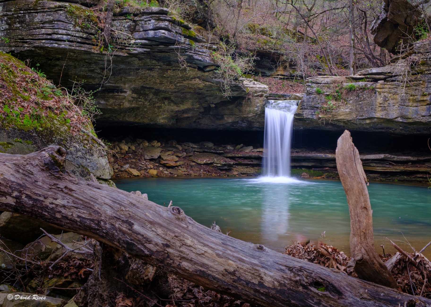
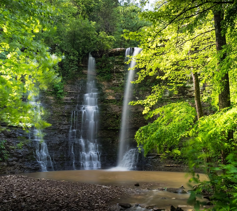
Thunder Canyon Falls is a 71-foot waterfall deep in the Upper Buffalo backcountry. The falls are accessed off the 7.3-mile Cecil Cove Loop Trail by following Cecil Creek — a moderate bushwhack that threads through pioneer homestead sites and old ruins before reaching the drop.
The trail
Follow Cecil Creek on the Cecil Cove Loop Trail to reach the falls. Medium bushwhack, GPS recommended.
Getting there
Trailhead: Thunder Canyon Falls (parking ~36.08335, -93.23358 near Erbie). Follow the Cecil Cove Loop Trail and keep to Cecil Creek — the falls sit upstream along the creek corridor (36.08460, -93.25428). Coordinates are researched references — verify with a map app before driving.
On the same trailhead