Richland Falls
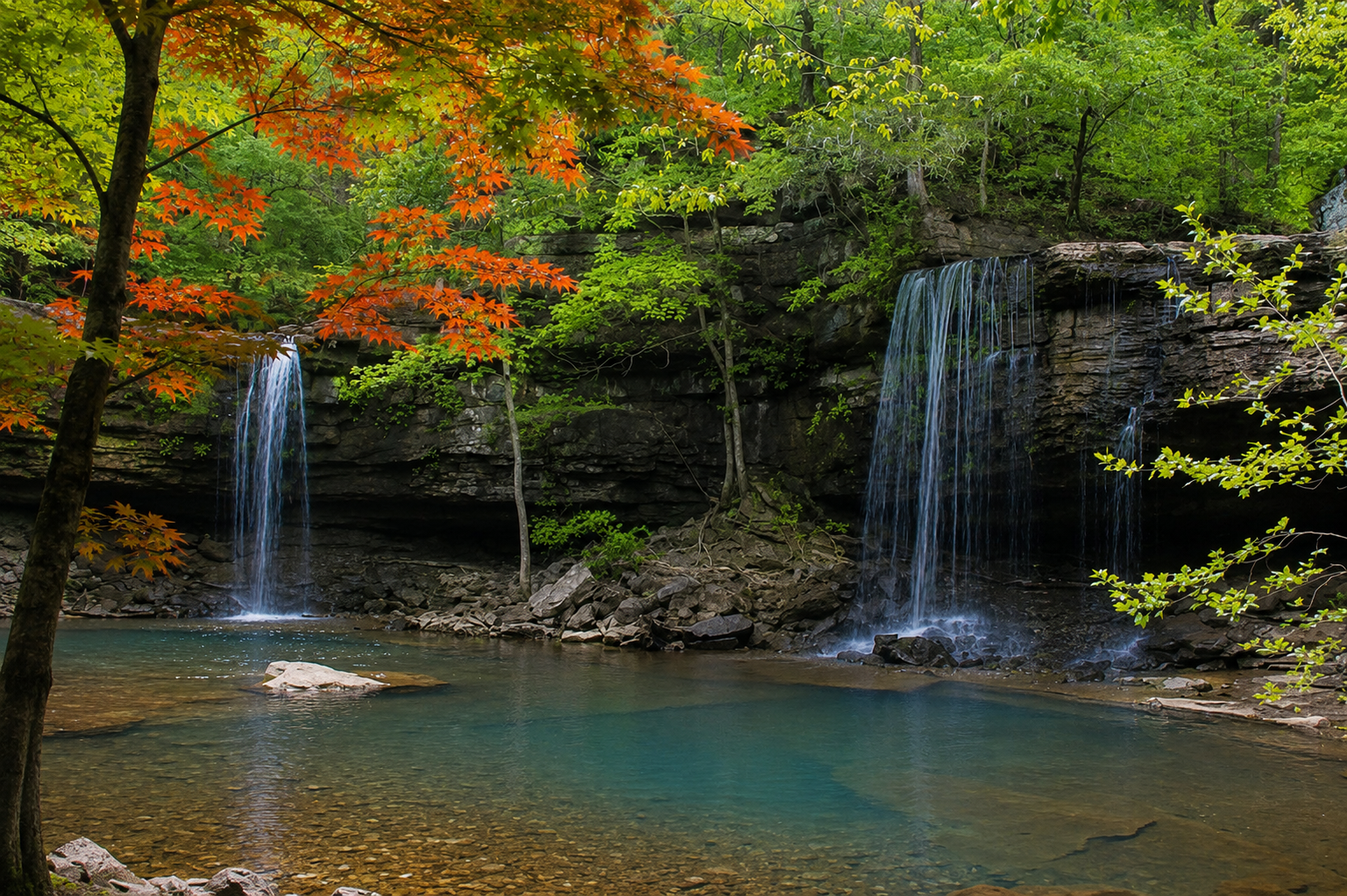
Seasonal Swim HoleAn 8-ft curtain spanning the full width of Richland Creek — the grand finale of the wilderness trifecta.
- Height
- 8 ft
- Type
- Wide curtain across creek
- District
- Tributary
- Round trip
- 6.6 mi
- Difficulty
- Strenuous
- Best season
- Spring
- Est. time
- ~5.5 hr
- Flow-dependent
- Yes
- Pet friendly
- No
- Coordinates
- 35.80075, -92.96010
Current conditions
- Rain 24h
- 0.00″
- Rain 72h
- 0.00″
- Rain 7d
- 2.00″
Next 3 days (preview)
Live data temporarily unavailable — showing last successful fetch. See full conditions report →
Richland Creek Wilderness, Ozark National Forest
Richland Falls is unlike any other waterfall in the Buffalo River region. At only 8 feet tall it wouldn't win any height contests, but it spans the entire width of Richland Creek — a wide, sweeping curtain of water that's nearly impossible to photograph in a single frame. In high water it becomes one continuous rushing wall. In low water it breaks apart into a series of individual drops, each fed by pools of different depths upstream — and in warm weather those pools actually vary in temperature, the shallower ones warmed by the sun, the deeper ones staying cool. It's one of the most geologically interesting waterfall experiences on the entire river.
What makes it special
Only about 8 feet tall, but stretching the full width of Richland Creek — a powerful 'wall of water' that contrasts with the narrow ribbon falls common in the Ozarks. Most hikers pair it with nearby Twin Falls of Richland for a full day of waterfall bagging.
History
Richland Falls lies within the Richland Creek Wilderness, a once heavily-logged 19th-century landscape that has been allowed to return to wild forest since wilderness designation in 1984.
Caves & springs
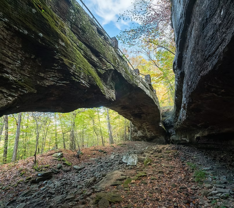
The ridges above the creek hide the 'Sandstone Castles' — large bluff shelters and cave-like formations carved into sandstone and St. Joe limestone, a worthwhile off-trail destination for confident navigators.
The route requires multiple crossings of Richland Creek, which becomes impassable and life-threatening during high water. Trails are unmarked — a GPS track is essential, and turn around if rain is on the way.
Getting there
Trailhead: Richland Falls, Richland Creek Wilderness (Hill Cemetery TH 35.83848, -92.97277) (35.80075, -92.96010). Coordinates are researched references — verify with a map app before driving.