Twin Falls of Richland
Seasonal Swim HoleTwo creeks meet mid-cliff in the heart of the Richland Wilderness.
- Height
- 17 ft / 19 ft
- Type
- Paired cascade
- District
- Tributary
- Round trip
- 5.6 mi
- Difficulty
- Strenuous
- Best season
- Spring
- Est. time
- ~4.5 hr
- Flow-dependent
- Yes
- Pet friendly
- No
- Coordinates
- 35.80582°N, 92.96407°W
Current conditions
- Rain 24h
- 0.00″
- Rain 72h
- 0.00″
- Rain 7d
- 1.38″
Next 3 days (preview)
Live data temporarily unavailable — showing last successful fetch. See full conditions report →
The falls
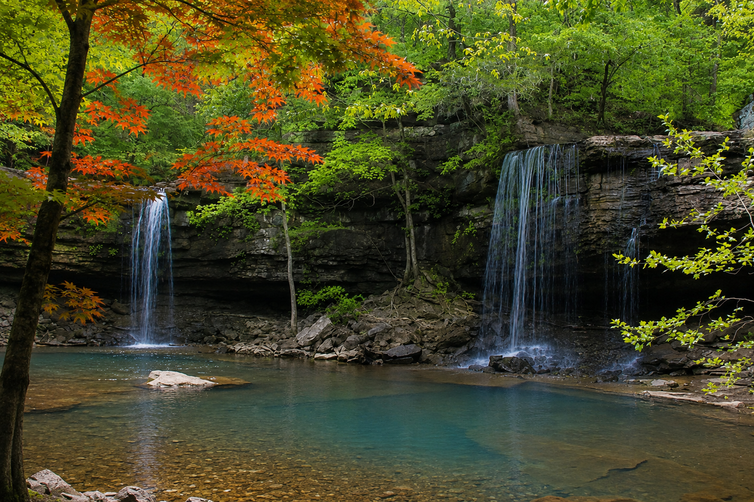
Twin Falls of Richland — also known as Twin Falls of Big Devil's Fork — is widely considered one of the most classically beautiful waterfall settings in the entire Ozarks. Two separate drops, 17 and 19 feet respectively, pour side by side into a pristine pool in a canyon that feels genuinely remote and untouched. What makes this place geologically unique is that the two curtains come from two entirely separate creeks — Big Devil's Fork on the right and Long Devil's Fork on the left — each draining its own distinct valley before converging at the exact same ledge for the first time. It is worth noting that Long Devil's Fork has a second, separate waterfall further upstream in the same drainage — Long Devil's Fork Falls, known locally as Jim Bob Falls — which is a completely different destination. The Richland Creek Wilderness lives up to its name throughout this area — waterfalls appear in nearly every hollow and side creek no matter how small, making the entire approach as scenic as the destination itself.
What makes it special
Twin Falls is the centerpiece of a remarkable 6.6-mile route that visits three waterfalls in a single backcountry day. See nearby: Hamilton Falls and Richland Falls.
History
The falls sit deep inside the 11,800-acre Richland Creek Wilderness, designated by Congress in 1984 and managed as a primitive area within the Ozark National Forest. The drainage was once a hub for 19th-century logging but has been left to return to wild forest.
Caves & springs
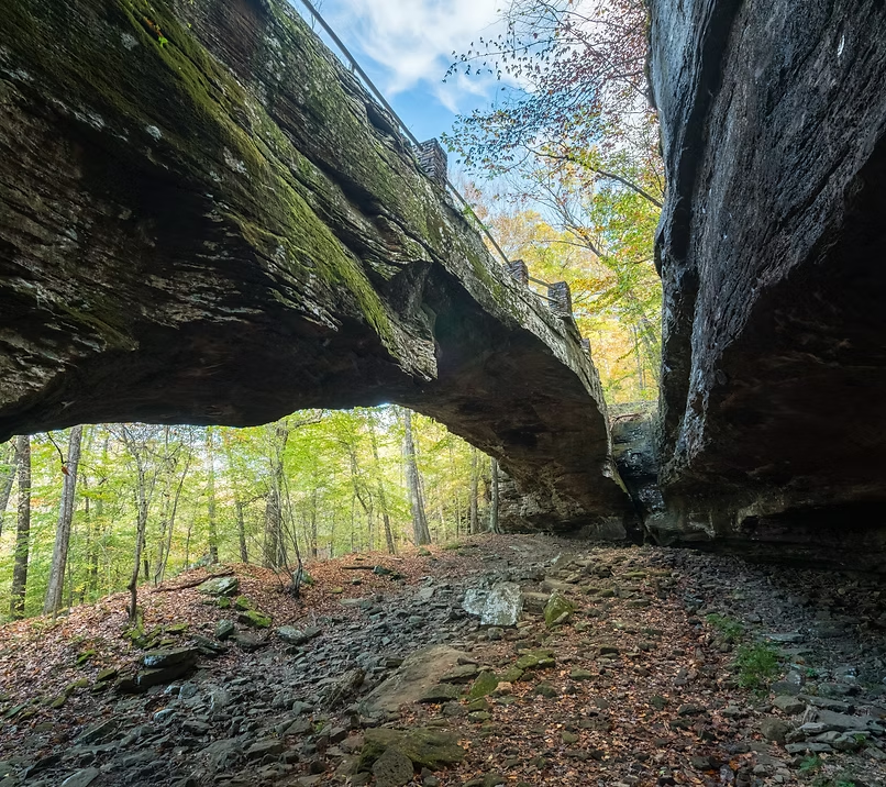
High above the falls on the ridge sits the 'Sandstone Castles,' a series of massive bluff shelters and honeycomb caves carved into the sandstone and St. Joe limestone — a worthwhile off-trail side trip for confident navigators.
Reaching the falls requires multiple unbridged crossings of Richland Creek, which becomes powerful and dangerous during high water. There are no marked trails — bring a GPX track and turn around if water is high or storms are forecast.
Getting there
Follow directions to Hamilton Falls. Continue downstream from Hamilton Falls approximately half a mile to reach Twin Falls at 2.8 miles from the trailhead. Alternatively, for a shorter direct approach, park at the old road trace intersection on CR#5080/FR#1205 approximately 1.0 mile south of Dickey Junction and bushwhack along the ridgetop to the falls — GPS coordinates essential for this route.